Shopping Cart
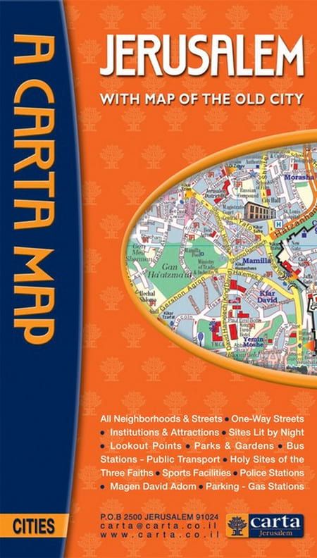
Carta’s Map Of Jerusalem
By: Carta Jerusalem On back: map of the Old City, list of sites and institutions, general information, and index to street names. Language: English Scale: 1:17,000 24x35½ in. (60x90 cm), folds to 5¼x9¼ in. (13½ x 23½ cm)
ISBN: 978-965-220-782-1
Weight: 70 g (2.46 oz)
$10.95
More Products
-
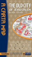
Carta’s Map Of The Old City Of Jerusalem
$8.95 Add to cartA clear, attractive, and useful map of the Old City of Jerusalem…
-
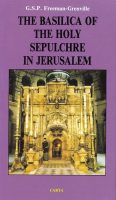
The Basilica Of The Holy Sepulchre In Jerusalem
$14.95 Add to cartThis concise guide to the Basilica of the Holy Sepulchre describes one of the most puzzling buildings in existence.
-
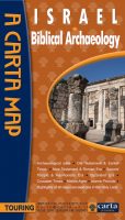
Israel Biblical Archaeology
$14.95 Add to cartThe first major comprehensive map of archaeological sites in the Holy Land, together with over a dozen annotated historical vignette maps of major sites and events throughout the land that provide an insightful overview of all archaeological sites related to the Bible and later historical periods. **** NEW ****

Reviews
There are no reviews yet.