Shopping Cart

The Missionary Journeys Of Paul – MAP KIT
By: Carta Jerusalem Language: English The First Missionary Journey of Paul - A.D. 46 to 48 Print size: 2.83x5.73 in (7.2x14.5 cm) 150 dpi - 375 kB The Second Missionary Journey of Paul - A.D. 49 to 52 Print size: 5.77x4.71 in (14.6x12.0 cm) 150 dpi - 596 kB The Third Missionary Journey of Paul - A.D. 53 to 57 Print size: 5.72x5.31 in (14.5x13.5 cm) 150 dpi - 695 kBb Paul's Voyage to Rome A.D. 59 to 62 Print size: 5.77x3.64 in (14.6x9.2 cm) 150 dpi - 1221kb The Seven Churches of the Apocalypse Print size: 2.89x3.71 in (7.3x9.4 cm) 150 dpi - 248kb For your personal use only Watermarks will not appear in downloaded maps. For commercial and any other application please Contact Us
$14.75
More Products
-
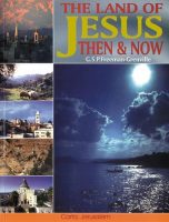
The Land Of Jesus Then & Now
$21.95 Add to cartIllustrated with over a hundred vistas, town maps and plans, and holy sites in words and pictures, this lavish guide to Jesus in the Holy Land follows the course of the life of Jesus.
-
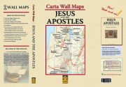
Carta Wall Maps JESUS And The APOSTLES
$45.00 Add to cartA set of 10 full-size sheets with 14 maps (28 x 40 in.) covering every aspect of JESUS AND THE APOSTLES. Specially designed as a teacher’s aid, these wall maps can be used in conjunction with our handbook, Jesus and the Apostles. which is free with this package. **** NEW *****

Reviews
There are no reviews yet.