Shopping Cart
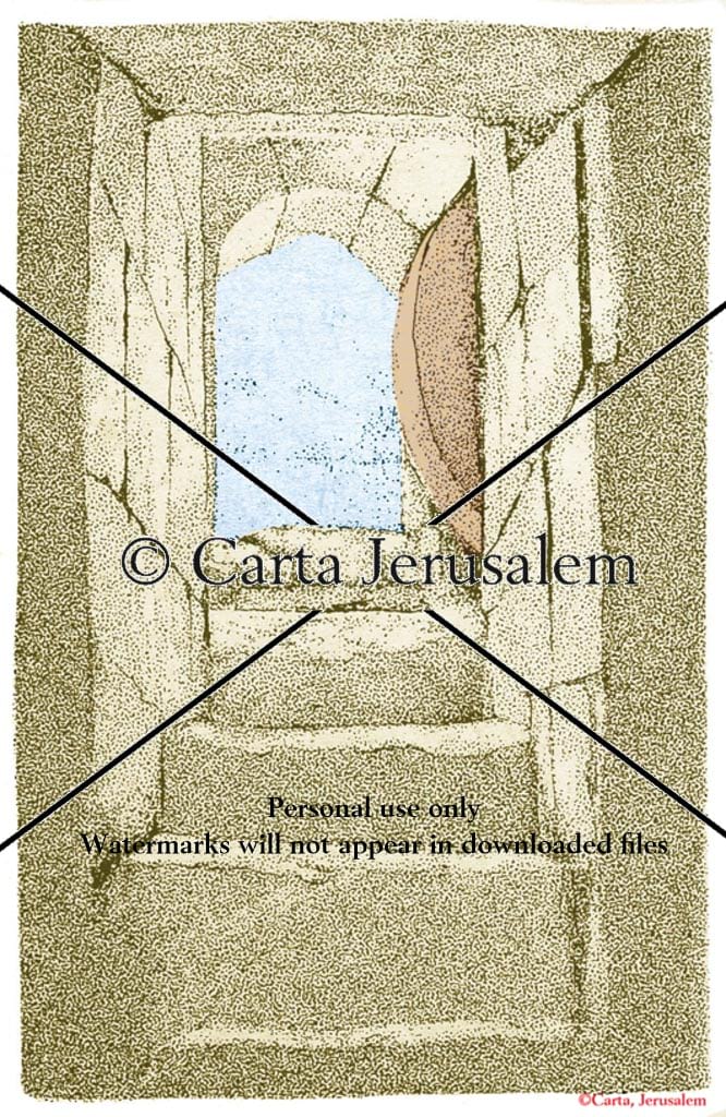
The Rolling Stone In Herod’s Family Tomb, Jerusalem
By: Carta Jerusalem Language: English Print size: 3.54x5.45 in (9.0x13.8 cm) 150 dpi - 814 kB For your personal use only Watermarks will not appear in downloaded maps. For commercial and any other application please Contact Us
$7.99
More Products
-

The Quest: Revealing The Temple Mount In Jerusalem
$60.00 Add to cartThis serious book presents a vivid view of the Holy Temple in Jerusalem through the ages, and also serves as a textbook. Comprehensive in scope, the book begins with the Temple Mount at its zenith, under King Herod the Great. Weaving together archaeological data with historical sources, Ritmeyer produces an authoritative and exhaustive reconstruction in word and picture.


Reviews
There are no reviews yet.