Shopping Cart

Carta’s Historical Atlas Of Jerusalem
By: Dan Bahat This unique atlas presents the results of all the latest excavations and research. Presented in a highly visual manner by means of maps and diagrams, floor-plans and photographs, the historical and architectural development of the Holy City unfolds before the reader. Twelve full-page maps of Jerusalem- one for each chapter - show the growth of the city through the ages. Each period in the 4,000 years of Jerusalem’s history is dealt with instructively and at length. Language: English Soft Cover, 92 pages, 6½ x 9½ in. (16.5 x24 cm) Featuring: Maps Diagrams Floor-plans Photographs Illustrations Index Two colors ISBN: 965-220-086-7 Weight: 228g (8.04 oz)
$17.95
More Products
-
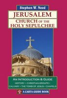
Jerusalem Church Of The Holy Sepulchre
$14.95 Add to cartThis short book is designed to enable visitors and pilgrims to the Church of the Holy Sepulchre in Jerusalem to understand and appreciate what they are seeing.
-
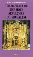
The Basilica Of The Holy Sepulchre In Jerusalem
$14.95 Add to cartThis concise guide to the Basilica of the Holy Sepulchre describes one of the most puzzling buildings in existence.
-
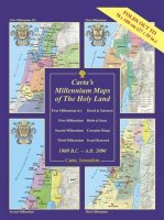
Carta’s Millennium Maps Of The Holy Land – 1000 B.C. – A.D. 2000
$19.95 Add to cartA Wall Chart – Carta’s Millennium Maps of the Holyland portray the extent of territorial control of the Holy Land at the turn of four millennia.
-

Carta’s Compact Bible Atlas – 2000 Jubilee Edition
$9.95 Add to cartThe contents of the Bible are so closely related to the lands or cities in which the recorded events took place, and in which the documents themselves were written, that it helps greatly to know something about those lands and cities.
Reviews
There are no reviews yet.