Shopping Cart

Israel Nature Reserves & National Parks
Details of all available facilities
Accessibility information for the disabled
All towns, villages and sites
More than 3,500 names
Road classification & route numbers
Road No. 6 (Toll road)
Israel Walking Trail from Dan to Eilat
Interchanges & junctions highlighted
Topography & elevations
Altitudes
Springs & water reservoirs
Detailed index
Booklet with color photos & descriptions of Reserves & Parks
$10.95
More Products
-
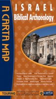
Israel Biblical Archaeology
$14.95 Add to cartThe first major comprehensive map of archaeological sites in the Holy Land, together with over a dozen annotated historical vignette maps of major sites and events throughout the land that provide an insightful overview of all archaeological sites related to the Bible and later historical periods. **** NEW ****
-
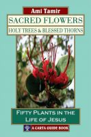
Sacred Flowers, Holy Trees & Blessed Thorns
$25.00 Add to cartThis book tells the stories of fifty plants connected with Christian tradition which can be found, in season, by the Christian pilgrim visiting the land of Israel.
Reviews
There are no reviews yet.