Shopping Cart
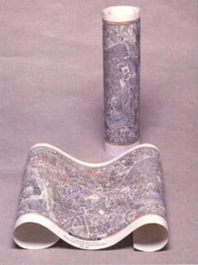
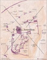
Pictorial Map Of Jerusalem
This unique bird's-eye view map of Jerusalem shows the city in 3 dimensional form. Drawn between 1967 and 1969 by the German cartographer Hermann Bollmann and based on thousands of ground and aerial photographs, the map depicts every street and building in multicolor precision. Ideal for framing.
Language: English
23¾ x 37 in. (60.5 x 94 cm) Scale: 1:5,000
$22.00

Reviews
There are no reviews yet.