Shopping Cart
The Atlas Of Biblical Jerusalem
By: Dan Bahat
The Atlas of Biblical Jerusalem, which is excerpted from the more extensive The Illustrated Atlas of Jerusalem, is a helpful and instructive tool for readers of the Scriptures and all who wish to visualize the Holy City as it was in biblical and New Testament times.
Jerusalem was at the apex of its glory and beauty during the last century before the destruction of theTemple in 70 CE. Herod had built many magnificent edifices in the city, with theTemple and its Mount as the crowning glory. These works gained fame, and the Talmud goes out of its way to describe the physical qualities of the city, which “took nine measures of beauty out of the ten with which the world was bestowed, leaving one measure to the rest of the world.”
This illustrated volume is based on the results of the latest archaeological excavations.
Language: English (Available also in: German: Der Atlas des Biblischen Jerusalems) Soft Cover, 48 pages, 8.75 x 11.5 in. (22 x 29.5 cm) Featuring: Index Maps Full Color Illustrations ISBN: 965-220-238-X Weight: 214 g (7.54 oz.)$17.95
More Products
-

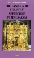
The Basilica Of The Holy Sepulchre In Jerusalem
$14.95 Add to cartThis concise guide to the Basilica of the Holy Sepulchre describes one of the most puzzling buildings in existence.
-

The River Jordan
$14.95 Add to cartAn Illustrated Guide from Bible Days to the Present The River Jordan, the largest and most important river in the Holy Land, has been of great importance, both historically and religiously, throughout the ages.
-

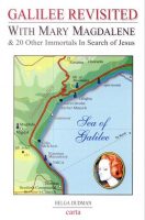
Galilee Revisited
$14.95 Add to cartWith Mary Magdalene & 20 Other Immortals in Search of Jesus The little road followed in this pleasing guide is less than 20 miles in all and is more important to our world than any other on earth. It leads back to two thousand years ago, when Jesus preached to the Galileans.
-

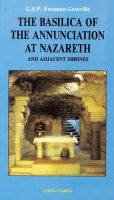
The Basilica Of The Annunciation At Nazareth And Adjacent Shrines
$14.95 Add to cartThis heavily illustrated guide takes us through the history of Nazareth of the Gospels and then a visit to the Basilica of the Annunciation at Nazareth and to the neighboring Galilee shrines which commemorate the Annunciation to Mary by Gabriel as well as events in the early life of Jesus.


Reviews
There are no reviews yet.