Shopping Cart
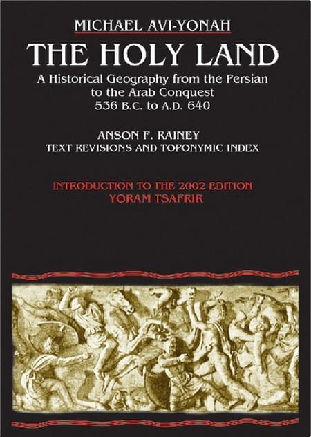
The Holy Land – A Historical Geography From The Persian To The Arab Conquest 536B.C. To A.D.640
By: Michael Avi-Yonah, Anson F. Rainey This revised and newly published book covers the historical geography of the Holy Land from 536 B.C. to A.D. 640. Part I deals in chronological order with the historical factors which have affected the map of the Holy Land during this period. In part II the boundaries of each one of the territorial units making up the country are analyzed in detail, with the available evidence assessed in each case. Part III deals with the development of the Roman road system, attempts a summary of the economic geography of the country by regions, and the composition of the population, as reflected in literary and epigraphical sources. In conclusion an attempt is made to estimate the total population of the country in the Roman and Byzantine periods. Twenty four sketch maps illustrate the detailed text. Language: English Hard Cover, 256 pages, 6 x9 in. (15 x22.5 cm) Featuring: Maps Toponymic Index Subject Index ISBN: 965-220-502-8 Weight: 540g (18.25 oz)
$25.00
More Products
-

Fourth Syrian War: The First Campaign Of Antiochus III, 219-217 BCE
$7.99 Add to cartFourth Syrian War: the first campaign of Antiochus III, 219-217 BCE -

The New Encyclopedia Of Archaeological Excavations In The Holy Land
$200.00 Add to cartArchaeological sites arranged in alphabetic order over 4 volumes make this heavily illustrated and erudite Encyclopedia a must for serious scholars of the Holy Land.


Reviews
There are no reviews yet.