Shopping Cart
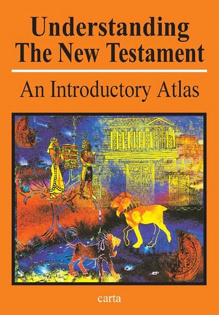
Understanding The New Testament
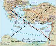
By: Paul H. Wright The New Testament (27 books) contains a record of the life of Jesus Christ and the birth and early growth of Christianity. The lands of the Bible have been aptly described as the “stage” on which the people who grace the pages of the New Testament moved. By understanding the dynamic of place, we open a window into other aspects of personal and communal life: political, economic, social and religious. In looking at the world of the New Testament, it is proper to speak of the geographical realities of the first-century world in which the Gospel spread. By learning about these places and the historical interconnections between them, Bible readers can enter more deeply into the pages of the Bible and the divine message that it contains. This volume is a perfect tool for doing just that.
Language: English
Soft Cover, 40 pages, 9 x12 in. (23 x30 cm) Featuring: Maps Drawings & illustrations Photographs Full Color ISBN: 965-220-525-7 Weight: 190g (6.7 oz.)$14.95
More Products
-
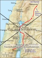
Saul Of Tarsus (Paul) On The Road To Damascus
$7.99 Add to cartSaul of Tarsus (Paul) on the road to Damascus -
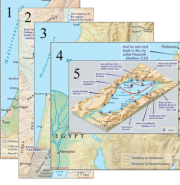
JESUS AND HIS TRAVELS – MAP KIT
$14.75 Add to cartFive maps illustrating the early life of Jesus and his travels. -
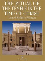
The Ritual Of The Temple In The Time Of Christ
$15.95 Add to cartThis handsomely illustrated book is the result of the felicitous fusion of the Ritmeyers’ unique experience and training in recording and illustrating the extensive archaeological excavations around theTemple Mount that took place in Jerusalem after the Six-Day War in 1967 and their thorough knowledge of Scripture, other sources and languages.

Reviews
There are no reviews yet.