Shopping Cart
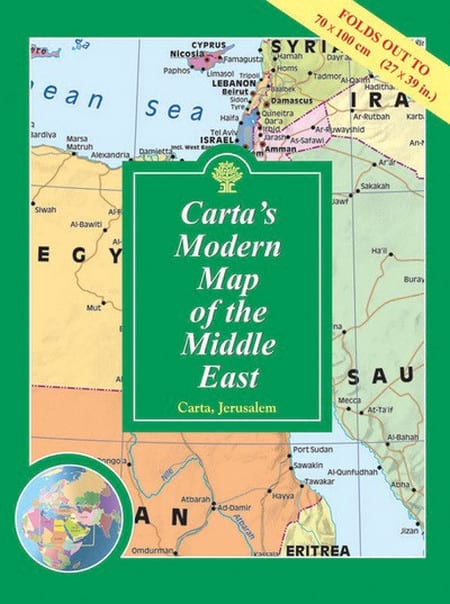
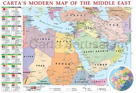
Carta’s Modern Map Of The Middle East – Wall Map
By: Carta Jerusalem Clearly presented colorful map of the Middle East showing major roads, railways and towns. - Alongside the map are vignettes of valuable information on each country in the Middle East. - Inset of world map showing area of the Middle East. Language: English - Folded: 9¾×13½ in. (24.5×34.5 cm) - Folds out to 27½×39 in. (70×100 cm) - Case: 10½×14 in. (27×35.5 cm) Featuring: Laminated Wall Map ISBN: 965-220-631-8 Weight: 180g (6.35 oz)
$19.95
More Products
-
Carta’s Map Of Jerusalem
$10.95 Add to cartMap of the Old City, list of sites and institutions, general information, and index to street names. ****** UPDATED – 2014 *******
-
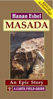
Masada – An Epic Story
$25.00 Add to cartA Carta Field Guide Masada, a natural, isolated rock cliff overlooking the Dead Sea, has an awesome history. The site was populated for close to 200 years and the historic, epigraphic and archaeological evidence combined gives us an idea of the drama that engulfed the site.
-
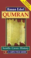
Qumran – Scrolls∙Caves∙History
$25.00 Add to cartA Carta Field Guide The Bedouin shepherds, who climbed into the Qumran cave with an oil lamp, found ten cylindrical jars, closed with clay lids. Eight jars were empty and one was filled with what seemed to be the remains of fruit. In the tenth jar three scrolls were discovered.
Reviews
There are no reviews yet.