
Shopping Cart
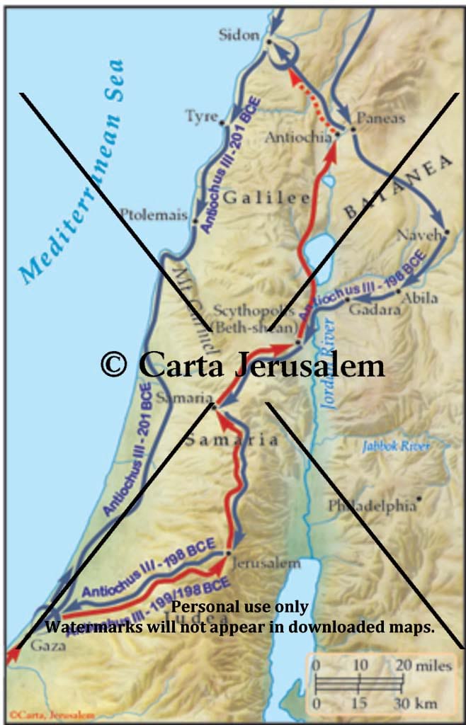
Fifth Syrian War: The Final Conquest Of Palestine By Antiochus III, 201-198 BCE
By: Carta Jerusalem Language: English Print size: 2.84x4.42 in (7.2x11.2 cm) 150 dpi - 285 kB For your personal use only Watermarks will not appear in downloaded maps. For commercial and any other application please Contact Us
$7.99

Reviews
There are no reviews yet.