Shopping Cart

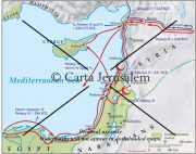
Plan Of Marisa (Mareshah)
By: Carta Jerusalem Language: English Print size: 2.94x2.89 in (7.5x7.3 cm) 150 dpi - 154 kB For your personal use only Watermarks will not appear in downloaded maps. For commercial and any other application please Contact Us
$7.99
More Products
-
Carta Wall Maps JESUS And The APOSTLES
$45.00 Add to cartA set of 10 full-size sheets with 14 maps (28 x 40 in.) covering every aspect of JESUS AND THE APOSTLES. Specially designed as a teacher’s aid, these wall maps can be used in conjunction with our handbook, Jesus and the Apostles. which is free with this package. **** NEW *****

Reviews
There are no reviews yet.