Online Store
Showing all 8 results
-
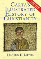
Carta’s Illustrated History Of Christianity
$32.95 Add to cartThird Paperback Edition – This book undertakes to present the Christian movement by emphasizing three foci: 1) intellectual discipline; 2) moral and ethical discipline; 3) expansion to a global religion from beginnings in the Roman province of Palestine.
-

Bible History Atlas
$14.95 Add to cartStudy Edition This artistically illustrated Bible History Atlas starts at the very beginning of the Bible narrative and proceeds through to the Revolt of the Jews Against Rome, taking in the Life of Jesus and the Beginnings of Christianity.
-
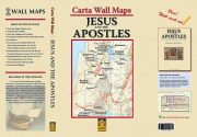
Carta Wall Maps JESUS And The APOSTLES
$45.00 Add to cartA set of 10 full-size sheets with 14 maps (28 x 40 in.) covering every aspect of JESUS AND THE APOSTLES. Specially designed as a teacher’s aid, these wall maps can be used in conjunction with our handbook, Jesus and the Apostles. which is free with this package. **** NEW *****
-

Illustrated Wall Maps Of The Bible
$45.00 Add to cartA set of full-size sheets of 12 maps and plans covering the whole Bible epoch. Specially designed as a teacher’s aid, it can be used in conjunction with Atlas of the Bible which is free with this package.
-
The Holy Land – A Historical Geography From The Persian To The Arab Conquest 536B.C. To A.D.640
$25.00 Add to cartThis revised and newly published book covers the historical geography of the Holy Land from 536 B.C. to A.D. 640. Part I deals in chronological order with the historical factors which have affected the map of the Holy Land during this period.
-
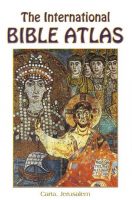
The International Bible Atlas
$9.95 Add to cart16 color Holy Scripture maps This concise Bible Atlas traces the events and kingdoms from the 1st millennium BCE until Paul’s journey to Rome. The geography and history of the Ancient Near East and the lands of the Scriptures is clearly presented in sixteen easily-understood maps.
-

The New Encyclopedia Of Archaeological Excavations In The Holy Land
$200.00 Add to cartArchaeological sites arranged in alphabetic order over 4 volumes make this heavily illustrated and erudite Encyclopedia a must for serious scholars of the Holy Land. -
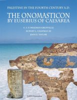
The Onomasticon By Eusebius Of Caesarea
$54.00 Add to cartPalestine in the Fourth Century A.D. For archaeologists specializing in the Levant, the Onomasticon of Eusebius Pamphili, Bishop of Caesarea in Palestine (c. A.D. 260–339), has long been considered to be one of the most useful works extant from antiquity.
contact us
