Online Store
Showing all 11 results
-
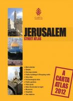
CARTA’S JERUSALEM STREET ATLAS
$14.95 Add to cartModern, user-friendly and up-to-date, Carta’s Jerusalem Street Atlas is part of Carta’s long established atlas series.
-
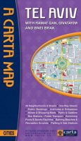
Carta’s Map Of Tel Aviv-Yafo
$10.95 Add to cartWith Ramat Gan, Givatayim and Bnei Brak. On back: list of sites and institutions, general information, and index to street names.
*** TEMPORARILY OUT OF STOCK *** -
Carta’s Map Of The Old City Of Jerusalem
$8.95 Add to cartA clear, attractive, and useful map of the Old City of Jerusalem…
-
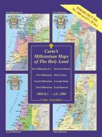
Carta’s Millennium Maps Of The Holy Land – 1000 B.C. – A.D. 2000
$19.95 Add to cartA Wall Chart – Carta’s Millennium Maps of the Holyland portray the extent of territorial control of the Holy Land at the turn of four millennia.
-
Galilee Revisited
$14.95 Add to cartWith Mary Magdalene & 20 Other Immortals in Search of Jesus The little road followed in this pleasing guide is less than 20 miles in all and is more important to our world than any other on earth. It leads back to two thousand years ago, when Jesus preached to the Galileans.
-
Israel Biblical Archaeology
$14.95 Add to cartThe first major comprehensive map of archaeological sites in the Holy Land, together with over a dozen annotated historical vignette maps of major sites and events throughout the land that provide an insightful overview of all archaeological sites related to the Bible and later historical periods. **** NEW ****
-
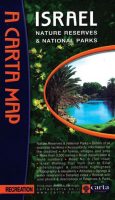
Israel Nature Reserves & National Parks
$10.95 Add to cartNature Reserves & National Parks, all towns, villages and sites. with attached guide, 35 pp.
-
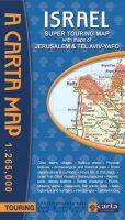
Israel Super Touring Map
$12.95 Add to cartWith maps of Jerusalem & Tel Aviv-Yafo ***** UPDATED – 2016 *****
-

Israel: Biblical-Archaeological & Historical Sites – Wall Map
$19.90 Add to cartLaminated Wall Map. The first major comprehensive map of archaeological sites in the Holy Land, together with over a dozen annotated historical vignette maps of major sites and events throughout the land that provide an insightful overview of all archaeological sites related to the Bible and later historical periods.
contact us

