Shopping Cart
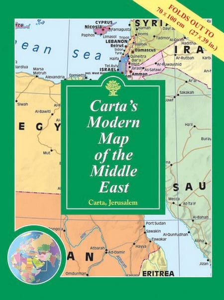
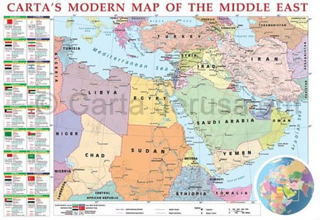
Carta’s Modern Map Of The Middle East – Wall Map
By: Carta Jerusalem Clearly presented colorful map of the Middle East showing major roads, railways and towns. - Alongside the map are vignettes of valuable information on each country in the Middle East. - Inset of world map showing area of the Middle East. Language: English - Folded: 9¾×13½ in. (24.5×34.5 cm) - Folds out to 27½×39 in. (70×100 cm) - Case: 10½×14 in. (27×35.5 cm) Featuring: Laminated Wall Map ISBN: 965-220-631-8 Weight: 180g (6.35 oz)
$19.95
More Products
-
Carta’s Map Of Tel Aviv-Yafo
$10.95 Add to cartWith Ramat Gan, Givatayim and Bnei Brak. On back: list of sites and institutions, general information, and index to street names.
*** TEMPORARILY OUT OF STOCK *** -
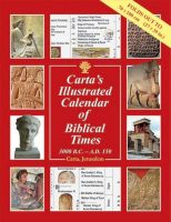
Carta’s Illustrated Calendar Of Biblical Times 3000 B.C. – A.D. 150
$19.95 Add to cartThis colorful and instructive classroom aid follows all major regions, kingdoms and events, chronologically, of the ancient world.
-
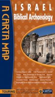
Israel Biblical Archaeology
$14.95 Add to cartThe first major comprehensive map of archaeological sites in the Holy Land, together with over a dozen annotated historical vignette maps of major sites and events throughout the land that provide an insightful overview of all archaeological sites related to the Bible and later historical periods. **** NEW ****
Reviews
There are no reviews yet.