Shopping Cart

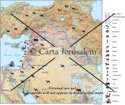
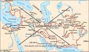
Fifth Syrian War: The Final Conquest Of Palestine By Antiochus III, 201-198 BCE
By: Carta Jerusalem Language: English Print size: 2.84x4.42 in (7.2x11.2 cm) 150 dpi - 285 kB For your personal use only Watermarks will not appear in downloaded maps. For commercial and any other application please Contact Us
$7.99
More Products
-

Understanding Biblical Archaeology
$18.00 Add to cartAn Introductory Atlas – Many of the places mentioned in the Bible can be seen to this day. Cities like Jerusalem, Tiberias, Bethlehem and Jericho have lasted through the ages.
-
The Holy Land – A Historical Geography From The Persian To The Arab Conquest 536B.C. To A.D.640
$25.00 Add to cartThis revised and newly published book covers the historical geography of the Holy Land from 536 B.C. to A.D. 640. Part I deals in chronological order with the historical factors which have affected the map of the Holy Land during this period.
Reviews
There are no reviews yet.