Shopping Cart

Carta’s Historical Atlas Of Jerusalem
By: Dan Bahat This unique atlas presents the results of all the latest excavations and research. Presented in a highly visual manner by means of maps and diagrams, floor-plans and photographs, the historical and architectural development of the Holy City unfolds before the reader. Twelve full-page maps of Jerusalem- one for each chapter - show the growth of the city through the ages. Each period in the 4,000 years of Jerusalem’s history is dealt with instructively and at length. Language: English Soft Cover, 92 pages, 6½ x 9½ in. (16.5 x24 cm) Featuring: Maps Diagrams Floor-plans Photographs Illustrations Index Two colors ISBN: 965-220-086-7 Weight: 228g (8.04 oz)
$17.95
More Products
-
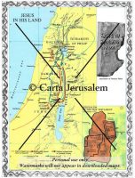
Jesus In His Land -Jerusalem Of The New Testament
$7.99 Add to cartJesus in His Land; Jerusalem of the New Testament -

The Basilica Of The Nativity In Bethlehem
$14.95 Add to cartThe focal point of the Birth of Jesus Christ is Bethlehem with its Church of the Nativity which enshrines the Birthplace of Jesus and the Manger.
-
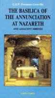
The Basilica Of The Annunciation At Nazareth And Adjacent Shrines
$14.95 Add to cartThis heavily illustrated guide takes us through the history of Nazareth of the Gospels and then a visit to the Basilica of the Annunciation at Nazareth and to the neighboring Galilee shrines which commemorate the Annunciation to Mary by Gabriel as well as events in the early life of Jesus.
Reviews
There are no reviews yet.